The course completion certificate is recognised by the Department of Transport as part of the requirement for the Coastal Skipper Certificate of Competence and the level of knowledge required is essential to those who aspire to becoming qualified Yachtmasters.
There will be work to be completed in the evenings. At the end of the course there will be three test papers in Collision Regulations, Meteorology and Navigation to be completed.
Course Syllabus
Position
- Understand dead reckoning and estimated position
- Understand satellite-derived position
- Use of waypoints
- Radar fixes
- Techniques of visual fixing
- Understand fixes using a mixture of position lines
- Relative accuracy of different methods of position lines
- Understand areas of uncertainty
The magnetic compass
- Allowance for variation
- Understand change of variation with tie and position
- Understand causes of deviation
- Swing for deviation (but not correction)
- Allowance for deviation
- Different types of compass
Tides
- Causes of tides – Springs and Neaps
- Tide tables – sources
- Tidal levels and datum
- Standard and secondary ports
- Tidal anomalies
Tidal streams
- Sources of tidal information
- Tidal stream information in sailing directions and yachtsmen’s Almanacs
- Allowance for tidal stream in computing a course to steer
- Tide rips, overfalls and races
- Tidal observation buoys, beacons etc
Buoyage
- IALA system buoyage in Region A
- Limitations of buoys as navagational aids
Lights
- Understand characteristics
- Ranges – visual, luminous and nominal
- Rising and dipping distances
- Light lists
Pilotage
- Harbour regulations and control signals
- Methods of pre-planning
- Clearing lines
- Use of soundings
- Transits and leading lines
GPS and chart plotters
- Principles of operation and limitations of use
- aster and vector charts
- Understand datum
- Importance of confirmation of position by an independent source and keeping a seperate record of position
- Importance of paper charts
Echo sounders
- Principles of operation and limitations of use
Logs (speed and distance measuring)
- Principles of operation and limitation of use
Deck log
- Importance of log as yachts official document
- Layout of log, hourly and occasional entries
Meteorology
- Understand basic terms, the Beaufort scale
- Air masses
- Cloud types
- Weather patterns associated with pressure and frontal systems
- Sources of weather forecasts
- Ability to interpret a shipping forecast, weatherfax and weather satellite information
- Land and sea breezes
- Sea fog
- Use of a barometer as a forecasting aid
Rules of the road
- A sound knowledge of the International Regulations for Preventing Collisions at Sea, except Annexes 1 and 3
Safety at sea
- Personal safety, use of lifejackets, safety harnesses and lifelines
- Fire prevention and fire fighting
- Distress signals
- Coastguard and Boat Safety Scheme
- Preparation for heavy weather
- Liferafts and helicopter rescue
- Understanding of capabilities of vessel and basic knowledge of stability
Navigation in restricted visability
- Precautions to be taken in fog
- Limitations to safe navigation imposed by fog
- Navigation strategy in poor visibility
Passage planning
- Preparation of charts and notebook for route planning and making, and use at sea
- Custom regulations as they apply to yachts
- Routine navigating in coastal waters
- Strategy for course laying
- Use of waypoints and routes
- Use of weather forecast information for passage planning strategy
- Sources of local and national regulations
Marine environment
- Responsibility to minimise pollution and protect the marine environment
2023 & 2024 Course Dates
22 – 28th January 2024
09 -15th March 2024 (reset from 11-17th March)
15th – 21st July 2024
11th – 17th Nov 2024
Duration
7 days
Price
£475.00 per person
What is included?
The course fee includes: RYA Coastal / Offshore Theory Pack. Use of RYA Training Almanac.
Unlimited tea and coffee.
Free parking.
For details of places to stay nearby, click here
What to Bring
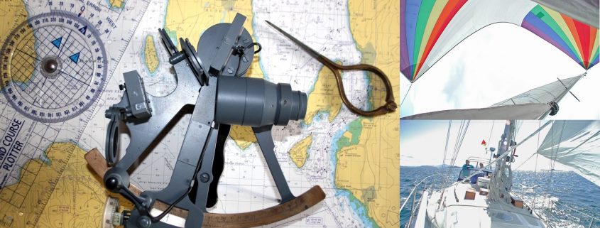
You will need to provide your own plotter, set up dividers, notebook, pens and pencils.
Ability after course
The course will provide you with the background knowledge required to skipper a yacht/small craft on coastal and offshore passages by day and night.
Pre-course experience: Applicants must have the RYA competent crew/day skipper theory certificate or equivalent (see RYA Logbook G15), be able to plot latitude/longitude and distance/bearings. You should also have a sound knowledge of international regulations for prevention of collision at sea, flag signals and VHF operator procedures.


